
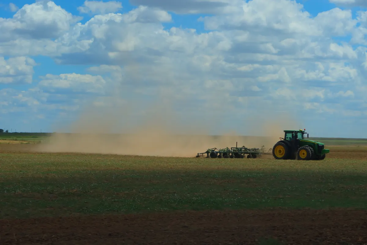

A large Saharan Air Layer travel impact is bearing down on the south-eastern United States, with a dense dust cloud from North Africa on course to bring hazy skies, reduced visibility and localised air-quality concerns to Gulf Coast states and Florida within days. NOAA is tracking the system as it completes its westward passage across the Atlantic.
According to the Clarion Ledger, the wave of dust is set to affect Mississippi, Louisiana, Alabama, Florida and Texas, a broad sweep of states that together account for some of the busiest domestic leisure and convention travel corridors in the country. Concentration is projected to weaken somewhat before making landfall on the continent, but hazy or milky skies and localised air-quality alerts remain likely across those regions.
What the Saharan Air Layer Means for Flight Operations
For aviation, the Saharan Air Layer travel impact is rarely a direct cause of ground stoppages. Dust particles typically remain suspended above 5,000 feet, well above approach and departure altitudes. The more immediate operational risk arises when secondary weather systems interact with dense dust clouds and trigger severe thunderstorms, which can then generate airspace constraints, ground delay programmes and route diversions.
Localised dust storms are a secondary concern: where surface visibility drops sharply, airports may be forced to implement ground stops until conditions improve. As of the time of reporting, no delays or cancellations attributable to this event have been announced at U.S. airports.
Atmospheric scientist Joseph Prospero, who discovered the Saharan Air Layer, framed the broader stakes clearly: ‘The phenomenon has been well established to have an impact on many aspects of our lives, from our climate and human health to our safety in the sense of reduced visibility, which can complicate aircraft traffic and driving conditions on roads.’ Road travel is similarly affected primarily through reduced driver visibility and worsening air quality rather than any structural disruption to infrastructure.
Hurricane Suppression and the Wider Environmental Picture
The Saharan Air Layer (SAL) forms over the Sahara during late spring, summer and early autumn, when intense solar heating over the desert generates strong winds that lift vast quantities of dust into the atmosphere. Easterly trade winds then carry the dust band westward at altitudes of between 5,000 and 20,000 feet, across the Atlantic and into the Caribbean, the Gulf of Mexico and the U.S. mainland.
One effect that the travel and hospitality sector along the Gulf Coast will note is the SAL’s role in suppressing tropical cyclone activity. The dry air mass carries roughly 50% less moisture than the surrounding atmosphere, and the mid-level wind shear it generates tilts and misaligns the vertical structure of developing storms, preventing vortex intensification. Reduced sea surface temperatures (caused by the dust blocking incoming solar radiation) add a further dampening effect. That suppression is short-term, however: SAL does not eliminate hurricane risk for the season as a whole.
The environmental picture is more mixed on land and in the water. Iron-rich dust particles fertilise oceanic phytoplankton and the Amazon rainforest, supporting primary marine production. At the same time, bacteria and fungi carried within SAL dust have been linked to coral reef degradation and the acceleration of harmful algal blooms, a concern for Caribbean and Florida reef tourism operators.
Historical Precedents Underscore the Scale of This Year’s Event
Current SAL activity is described by meteorologists as strong, with heavy dust concentration combined with intense wind shear dominating the Atlantic basin. The historical record illustrates what an active SAL season can mean. In 2020, meteorologists tracked the most intense Saharan dust storm ever documented: the so-called ‘Godzilla’ dust cloud travelled over 5,000 miles, exceeded the combined area of the 48 contiguous United States, and halted tropical storm development in the Atlantic for several weeks as sea surface temperatures fell. By contrast, SAL activity was atypically weak during the peak of the 2005 Atlantic hurricane season (a year that produced Hurricanes Katrina, Rita and Wilma) allowing ocean temperatures to rise sharply and storms to intensify rapidly.
During the 1970s and 1980s, the prolonged Great Sahel Drought in North Africa significantly increased the frequency and density of SAL outbreaks, which in turn suppressed intense Atlantic hurricanes and shielded the U.S. coastline from major storms for close to two decades. TheTravel has reported that the current cloud’s path and the expected state-by-state timeline will become clearer as the system moves through the Caribbean in the coming days.
